photo courtesy Vladimir I. Steblina, Forest Service.
photo courtesy Vladimir I. Steblina, Forest Service.
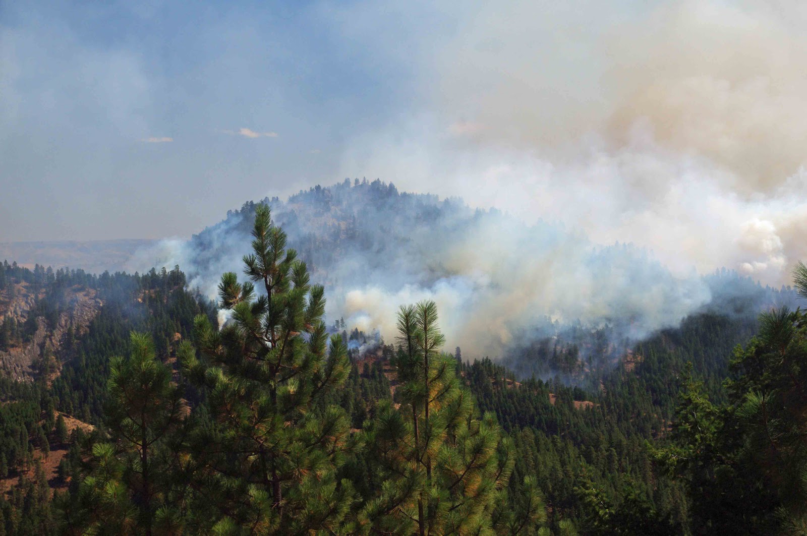
photo courtesy Vladimir I. Steblina, Forest Service.
photo courtesy Vladimir I. Steblina, Forest Service.
photo courtesy Vladimir I. Steblina, Forest Service.